Oh hell, let’s not wait until the polls close: today’s ride as a complete success. There were a couple of flats, no one got hurt and my haphazard and ranging fact-delivery about the L.A. River didn’t bore anyone of the 25-30 in attendance to tears… at least not outward ones.
I did go off on one of the teens in attendance who dared to obliviously roll past me out into a traffic lane on Riverside Drive while gabbing into a cellphone that was plastered to his ear , but I did apologize for being such a wicked den mother with my “Oh tell me you’re not out in the middle of traffice on your bike with a cellphone stuck to your ear!” reaction. So we’re even. Almost.
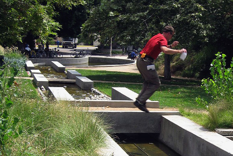
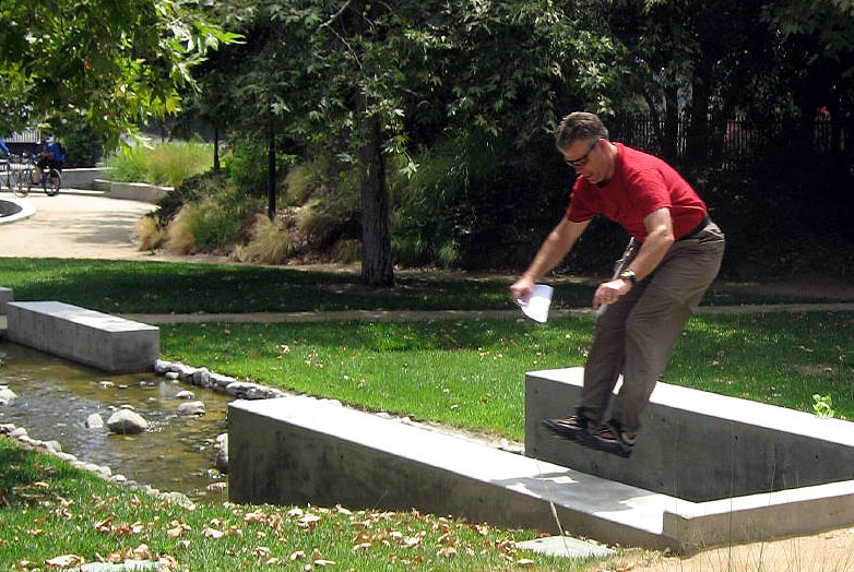
The one thing I had to sacrifice was photography. Since I was the one flapping my piehole at every stop I didn’t get much chance to bring the camera to bear. Still, that’s highly unlike me to unholster my cam. Thankfully my wonderful wife, who came along for the southern part of the trek had her camera at the ready got pictures of the cycling action, and of me goofing around with notes in hand while standing long-jumping over the five- to six-foot-wide main channel of the River Center Park’s water feature during the midway break in the pedaling.
Even better I didn’t fall in. I’m so pleased she joined the festivities and had a good time. Her post about the ride is here. Her pix are over here. My intro speech and the notes I presented are after the jump.
IAAL*MAF “Serenity Now: An L.A. River ODDysey” Ride – Juloy 22, 2007
First off welcome to the iaalmaf’s fifth in its series of spinvitationals and thanks for coming out. For those of you who don’t know the iaalmaf is the tongue twisting acronym for the ludicrous and recreational ministry known as the International association of armed librarians mobile assault force. We’ve been doing our thing for more than a year now and branched out last fall to do occasional open rides such as today’s along the L.A. River.
I need to point out that while I have pulled together some information about the subject of our ride today, I am no expert on it. What I am is a perpetual rooter for the underdog – I am a champion of the dissed and dismissed be it rat, hyena, vulture, coyote, bat opposum or that very rare but increasingly less so species of urban bicyclist (especially us middle-aged ones).
As such it just comes natural to me to look at the downtrodden L.A. River and see it for what many other people don’t… if they look at it at all. It’s not that my vision is marred by some sort of rose-colored view. By and large the river’s lack of appeal is exceeding only by the efficiency within which it performs its task. But at the same time I see it’s longstanding condition as being unique in all the world. No other place else was a project like this undertaken and with such relative success. But no matter how unriverlike it looks like or how badly its treated, I’ve been intrigued about it all my life and coming to the river since I was in my teens in the early 1980s.
For today’s ride we’re going to take things low and slow as we venture down river to the River Center Park and back. The roundtrip distance is just under 18 miles and we’ll be making a few stops along the way, most notably at the bikeway exit at Fletcher where there may be some more riders waiting to join us. From Fletcher we’ll be ttraversing residential surface streets through Elysian Park and then crossing the Figeuroa bridge over the river to get to the River Center Park. Once there, we’ll kick back and take a look around, but I found out that a wedding is taking place so we won’t be able to wander the entire grounds or the river center as I’d hoped.
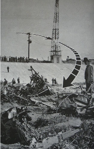
Couple things I’d like to point out. We’re going to be making a few stops along the way where I’ll be somewhat haphazardly tossing out information. I even have a couple badly printed pix to pass around, which I’ll probably do once we get to the river center park. On the way back we’re going to come up the undeveloped west bank of the river up to Fletcher and stop at my favorite company name in all the land and also pay homage to a still standing relic of a plane crash that killed aWorld War II war hero who died in the river in 1945.
What I encourage you to do while we’re in motion is to bike safely: keep to your proper lane, go at a comfortable pace and be aware of oncoming traffic and who’s around you. And while we’re on the river take a look around – see all that the river has to offer, the good and the bad. You’ll find an abundance of wildlife an abundance of garbage and an ever evolving gallery of unofficial public art.
I also would suggest staying on the pavement at all times is the best way to avoid picking up any stray goathead thorns and flatting.
First stop: Bikeway Call Box
• Arundo!
• In its natural state the Los Angeles River was once part of the largest floodplains in the United States encompassing a watershed of some 834 square miles and evidence indicates that as many as 45 Gabrielino villages were located alongside it, four of which were situated along the length we’ll be traveling today.
• The Los Angeles River officially begins in Canoga Park about a block north of Vanowen on Owensmouth Ave where the Bell Creek Channel to the north and the Calabasas Creek Channel to the south converge in a sweeping V directly behind the Canoga Park High School athletic field.
• From there to here where we’re at the river’s covered some 18.5 miles on its way to San Pedro Harbor 32.5 miles away for a total of 51 miles away.
• When Griffith deeded the land to the city that became Griffith Park, the area actually extended all the way to the river and included more than five miles of riverfront in which Griffith envisioned a grand waterfront park with boating and piers and arcades and theaters and shops and restaurants.
To me it’s somewhat telling the seeming ease within which the Interstate was built upon park land, separating the park from the waterway. While I’m sure there had to have been debate on the matter, I wonder if it approached the level of discourse occurring as the next Griffith Park master plan and its decidedly lesser sized projects under consideration.
• This first stretch of L.A. River bikeway is celebrating its 10th anniversary this year. It opened in 1997. The Alex Baum Bike Bridge up ahead opened in 2002. The bikeway south of Fletcher is prehistoric and its development, glacial.
Second Stop: Sunnynook Footbridge
• Of the 100s of bridges that span the Los Angeles River today, the Sunnynook Footbridge is the only dedicated pedestrian crossing along the river’s 51-mile length.
• The L.A. River flows year-round now. Reclaimed water enters the Los Angeles River in the Sepulveda Basin. The Department of Water and Power releases as much as 75 million gallons of water daily from the Donald C. Tillman Water Reclamation Plant in the basin. In effect, the Los Angeles River now has a year-round supply of water. Normally the summer and fall would be dry. As a result, plant and animal life have begun to thrive downstream.
• In the Sepulveda basin more than 200 species of birds have been recorded.
• In and around the Glendale Narrows more than 125 species of birds have been sighted including Great Blue Herons, egrets, Canada Geese, mallard ducks, and Kingfishers. Red-tailed Hawks and Kestrels and plenty more.
• Indicate location of standing Red Car pylons south of Hyperion Viaduct.
Third Stop: Fletcher
Let’s talk about flooding:
• The river’s containment was designed with one purpose in mind, to prevent continuing recurrences of catastrophic flooding and move water as quickly as possible to the sea. And on those counts it’s very successful, as storm water can travel upwards of 35 mph.
But why would so region with such a growing population thirsting for water abandon a such an immediate source and turn it into what amounted to little more than a sewer channel? One reason is that having tapped the water sources in the Owens Valley with the Los Angeles aqueduct completed in 1913, we didn’t need it anymore.
Another reason is that it wasn’t a dependable resource in the sense of it being a year round river. In the dry months it dried up, too.
But when it rained, it poured. Catastrophic flooding in Los Angeles may seem hard to picture, but historically we’ve had some doozies:
1884 – Extensive flooding changes the course of the river turning it eastward to Vernon and southward to San Pedro, whereas before it flowed westward from downtown along a course through the Westside that eventually took it along the path of Ballona Creek to the Santa Monica Bay. In that year the first attempts at channelizing the river come in the form of levies through downtown.
1914 – Severe floods inundate 12,000 acres of L.A. County. The L.A. County Flood Control District is created and discussion of channelizing begins. Similar levels of flooding occur again in 1916.
1938 – The great county-wide flood brought about by four straight days of rain. Measurements in areas the San Gabriel Mountains totaled 32 inches. In a 24-hour period downtown recorded 6.3 inches. The resulting flooding inundates more than 108,000 acres and kills 87 people in L.A. County ; $78 million in damages (about $900 million today).
That same year the Army Corp of Engineers begins channelizing project with more than 10,000 workers ultimately applying 3,500,000 barrels of concrete, 147 million pounds of steel and 460,000 tons of stone at a cost of $116.7 million.
The first work was completed about right where we started in 1938-39 four miles up river from Elysian Valley. The Sepulveda Flood Basin is completed in 1940. The entire river and its tributaries were channelized by 1960.
Fourth stop: River Center Park
Upcoming Events
The Los Angeles Dept of City Planning is holding workshops on the Los Angeles River Improvement Overlay District to gather ideas on urban design for the community at several locations throughout Los Angeles.
WORKSHOPS 5 & 6
DATE: Saturday, August 4, 2007
TIME: 9:30-11:30am
LOCATIONS:
Studio City Recreation Center
12621 Rye St.
Studio City, CA 91604
OR
Goodwill Center
342 N. San Fernando Rd.
Los Angeles, CA 90031
WORKSHOPS 7 & 8
DATE: Saturday, August 11, 2007
TIME: 9:30-11:30am
LOCATIONS:
Council District 14 Boyle Heights Office
2130 E. First St.
Los Angeles, CA 90033
OR
Oakwood Secondary School
11600 Magnolia Blvd
Los Angeles, CA 90027
 Last Stop: The death of a war hero
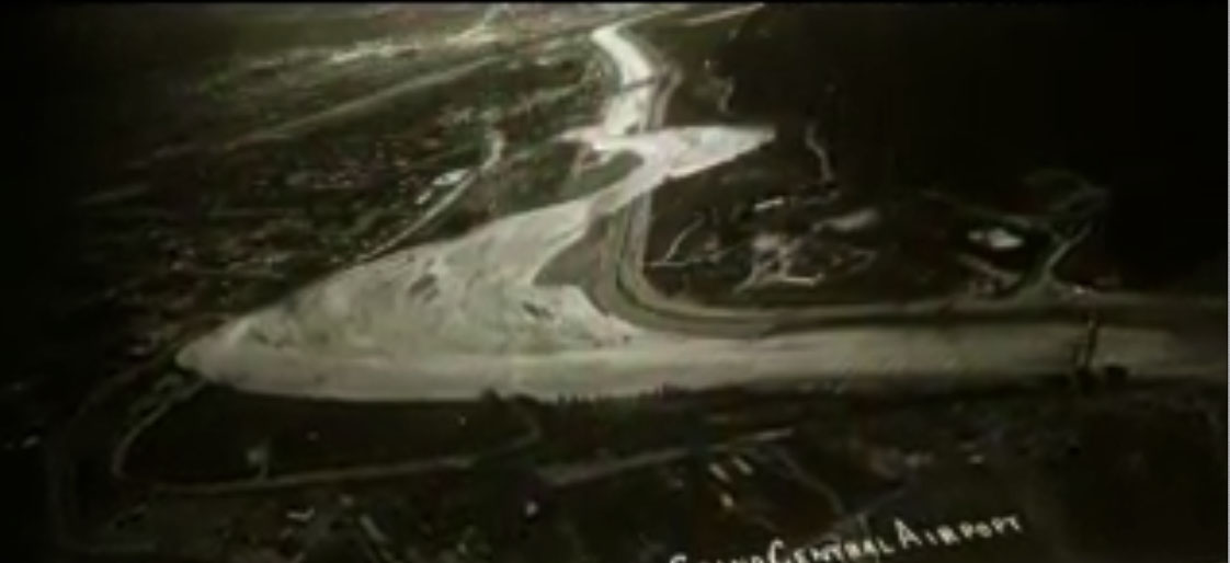
A post-war training flight ended in tragedy when a BT-13 plane piloted by Lt. Donald Givens developed engine trouble shortly after take off from Grand Central Airport in Glendale. The plane first struck the Bureau of Power and Light’s 34,500-volt power line afterward Givens attempted to land the plane in the river bed bu t it struck the steel sewer ventilator stack and crashed in flames. It was an ironic twist of fate that caused Lt. Givens to lose his life on a routine mission when he had come through 18 months of overseas combat duty during which time he had been awarded the Distinguished Flying Cross.


 Follow